TOPOSITE overcoming economic crisis, succeeded το be synonymous with the words
reliability – quality – innovation
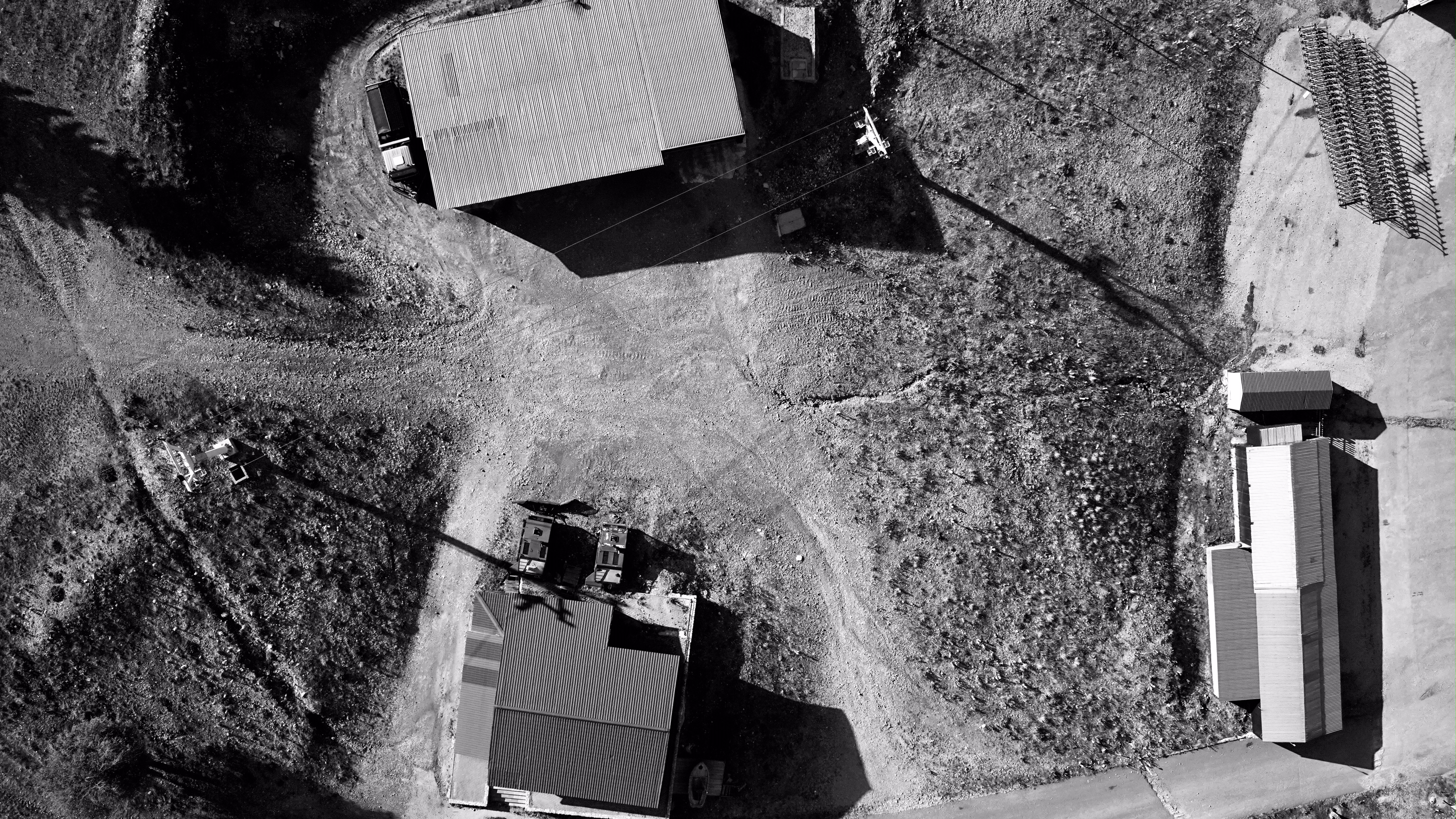
TOPOSITE uses the most modern unmanned aerial mapping systems
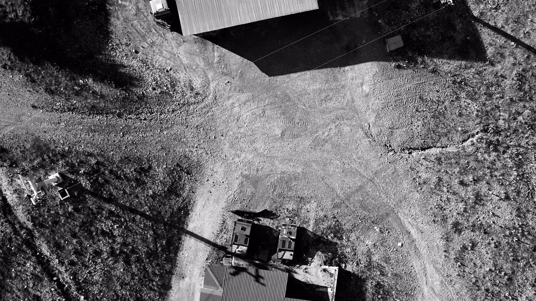
Closer…
TOPOSITE updates, checks, calibrates and develops its equipment
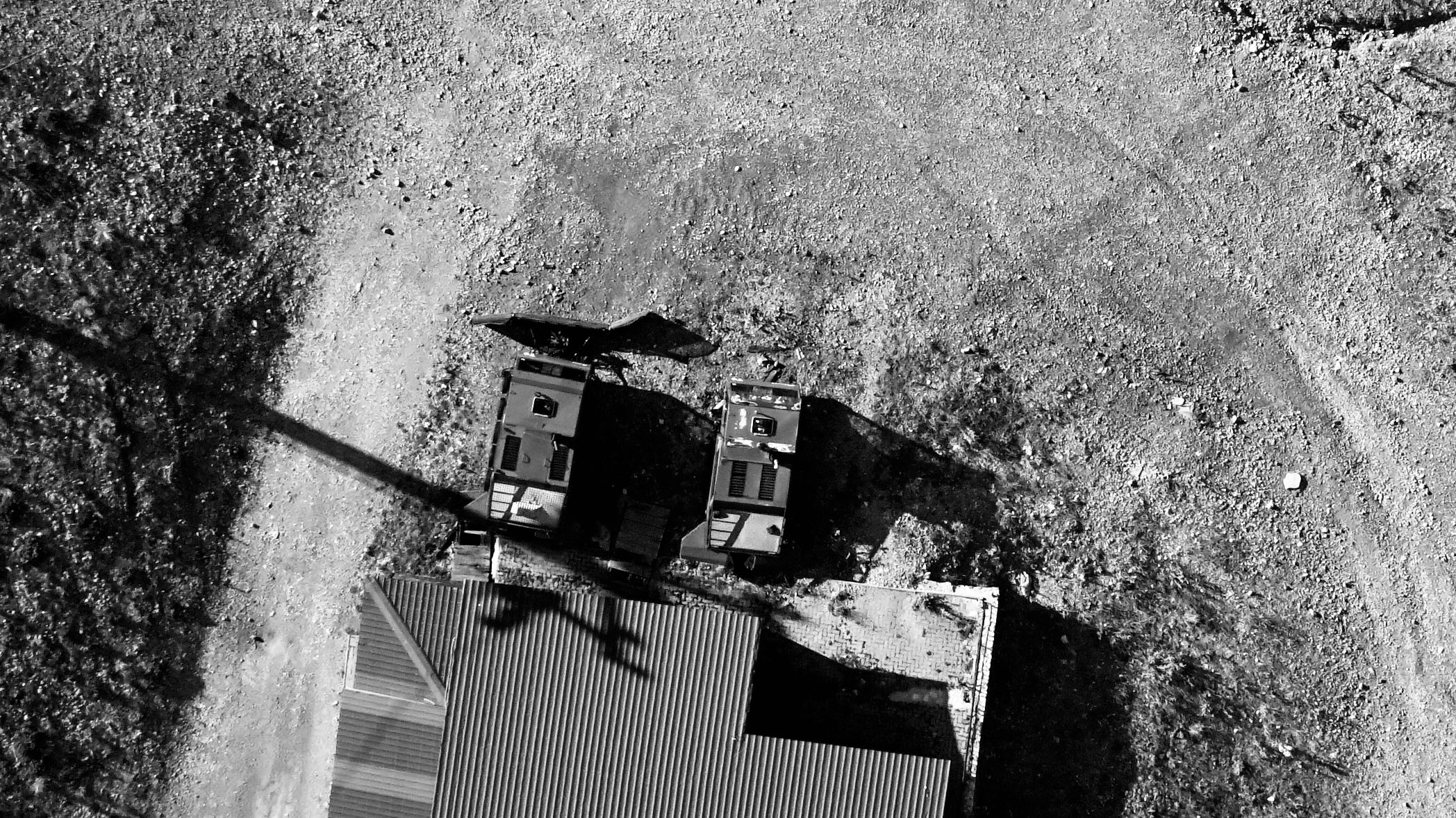
…close enough?
TOPOSITE always follows current law and Civil Aviation Authority guidelines.
Special Category Drone Pilot, Drone Registration and Insurance,
Flight Plan Submission and Approval
TOPOSITE produces any kind of Survey Project…

Land Survey – Traffic engineering
…as projects of Road Construction and General Transportation Engineering too

Urban Surveys
and any kind of City Planning Project
TOPOSITE uses the most modern echo sounding methodologies,
on manned and unmanned marine systems

Knowing the bottom…
TOPOSITE dives in and colaborates also with experienced submarine teams

…from surface


